
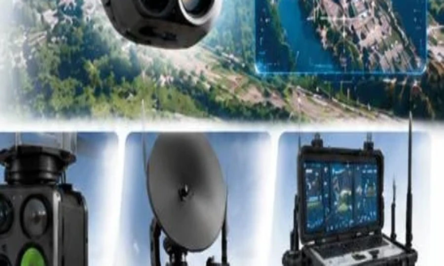
 Catalogue product
VISION EO
An electro-optical imaging payload for daylight observation.
Payload TypeElectro-optical daylight imagingFunctionsHigh-resolution imaging; zoom and tracking
View product detailsCatalogue reference illustration. Ask the team for approved product photography and the current configuration.
Sensors & Intelligent Control
Survey and mapping payload options for aerial data collection.
Final specifications, options and availability are confirmed against the agreed configuration.
Technical highlights
| Payload Type | Survey and mapping |
|---|---|
| Outputs | Photogrammetry and 3D models |
| Optional Sensor | LiDAR |
Product overview
Ask our team for the current technical datasheet and available configurations.
Applications
Explore the range
Catalogue productAn electro-optical imaging payload for daylight observation.
Catalogue productA thermal imaging payload for low-light and temperature-based observation.
Catalogue productPlatform communications, telemetry and data-link integration.
Smart technology. Better possibilities.
Tell us what you want to achieve. Our team will help you explore the right next step.