
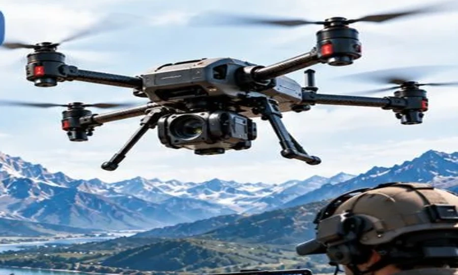
 Catalogue product
SCOUT Q20
A portable quadcopter for aerial observation and camera-payload integration.
Endurance40 minOperational Range8–20 km
View product detailsIndustry Solutions
Understand your land from a fresh perspective.
Your challenge
Aerial observation can help teams understand fields, boundaries and changes across agricultural land. Start with the information you need, then scope the platform and imaging setup.
Spraying capability, agronomic analysis and crop-yield improvements are not implied; discuss the specific equipment and workflow required.
A practical approach
Explore suitable platforms
Catalogue productA portable quadcopter for aerial observation and camera-payload integration.
 Catalogue product
A long-range VTOL platform for mapping, surveying and remote operations.
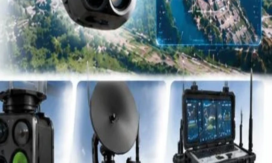 Catalogue product
Survey and mapping payload options for aerial data collection.
Smart technology. Better possibilities.
Tell us what you want to achieve. Our team will help you explore the right next step.