
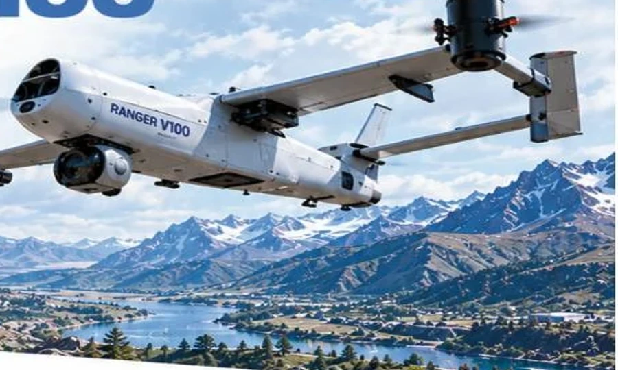
 Catalogue product
RANGER V100
A long-range VTOL platform for mapping, surveying and remote operations.
Range100 kmEndurance60 min
View product detailsIndustry Solutions
Bring more context to every decision.
Your challenge
Explore fixed-wing and VTOL platforms, imaging payloads and survey workflows around your terrain and coverage requirements.
Accuracy, positioning, output formats and operating range depend on the approved platform and sensor configuration.
A practical approach
Explore suitable platforms
Catalogue productA long-range VTOL platform for mapping, surveying and remote operations.
 Catalogue product
A fixed-wing platform for extended aerial coverage and sensing requirements.
 Catalogue product
An extended-range fixed-wing platform with an enhanced payload class.
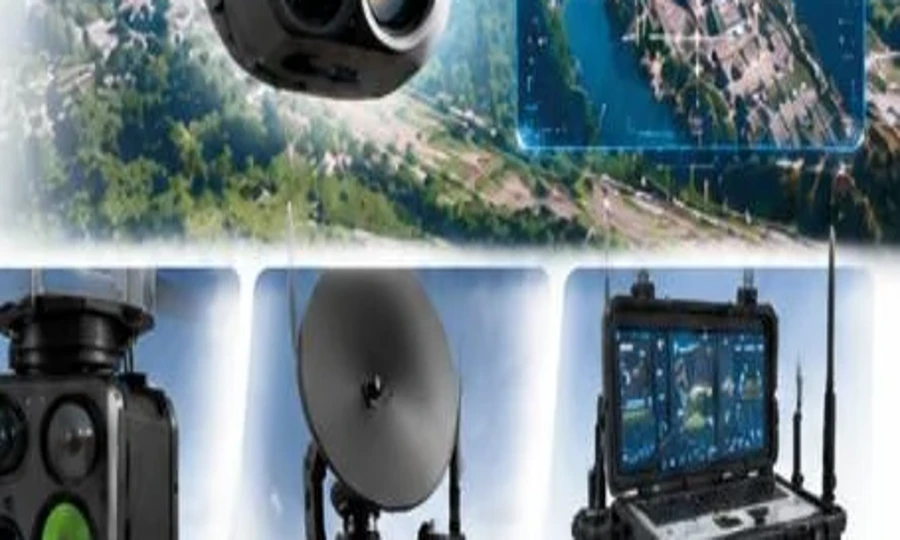 Catalogue product
Survey and mapping payload options for aerial data collection.
Smart technology. Better possibilities.
Tell us what you want to achieve. Our team will help you explore the right next step.